Explore Tysnes
Much of the best of the island starts right from the quay. Here are the walks, our neighbours and the rest of Tysnes, all in one place.
On foot from the harbour
Ramnanuten (266 m)
≈ 30 minMarked trail from the harbour and Tysnes school. Great views for a short evening hike.
Teiglandsnuten (340 m)
from the harbourA steep final stretch and panoramic views over Våge and the fjord.
The swimming jetty and Gunnarsvika
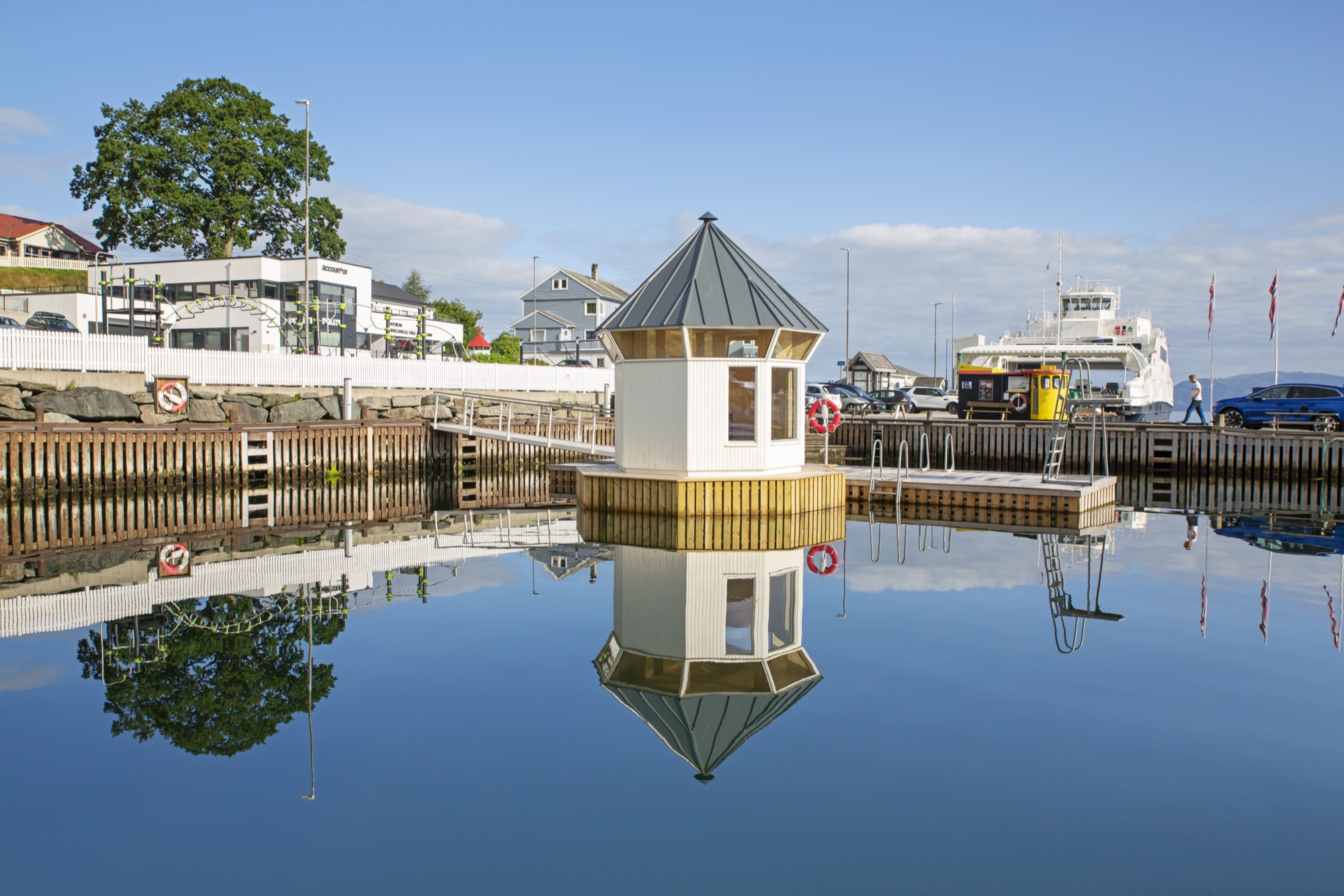
A diving tower in the harbour itself, and the sheltered cove Gunnarsvika with smooth rocks and a sandy bottom a short walk away.
A little further out
Tysnessåto (753 m)
2 to 2.5 h returnThe island's highest peak. The fastest route climbs from Myrdal on a sherpa-built stone staircase of more than 1,000 steps.
Hovlandsnuten (727 m)
1.5 to 2 hThe “queen” of the Tysnes mountains, overlooking the Onarheim fjord towards the Kvinnherad peaks.
Cycling routes
31 to 43.5 kmTwo main routes: 43.5 km around the island and 31 km to the Flatråker watercourse.
Golf and fishing
A 6-hole golf course in Dalen, plus guided fishing trips and boat rental on the island.
Årbakka trading post
from 1898A classic west-Norwegian trading post with art exhibitions, an old country store and a forge, with an Iron Age burial ground close by. Has its own guest harbour.
Our neighbours on the quay
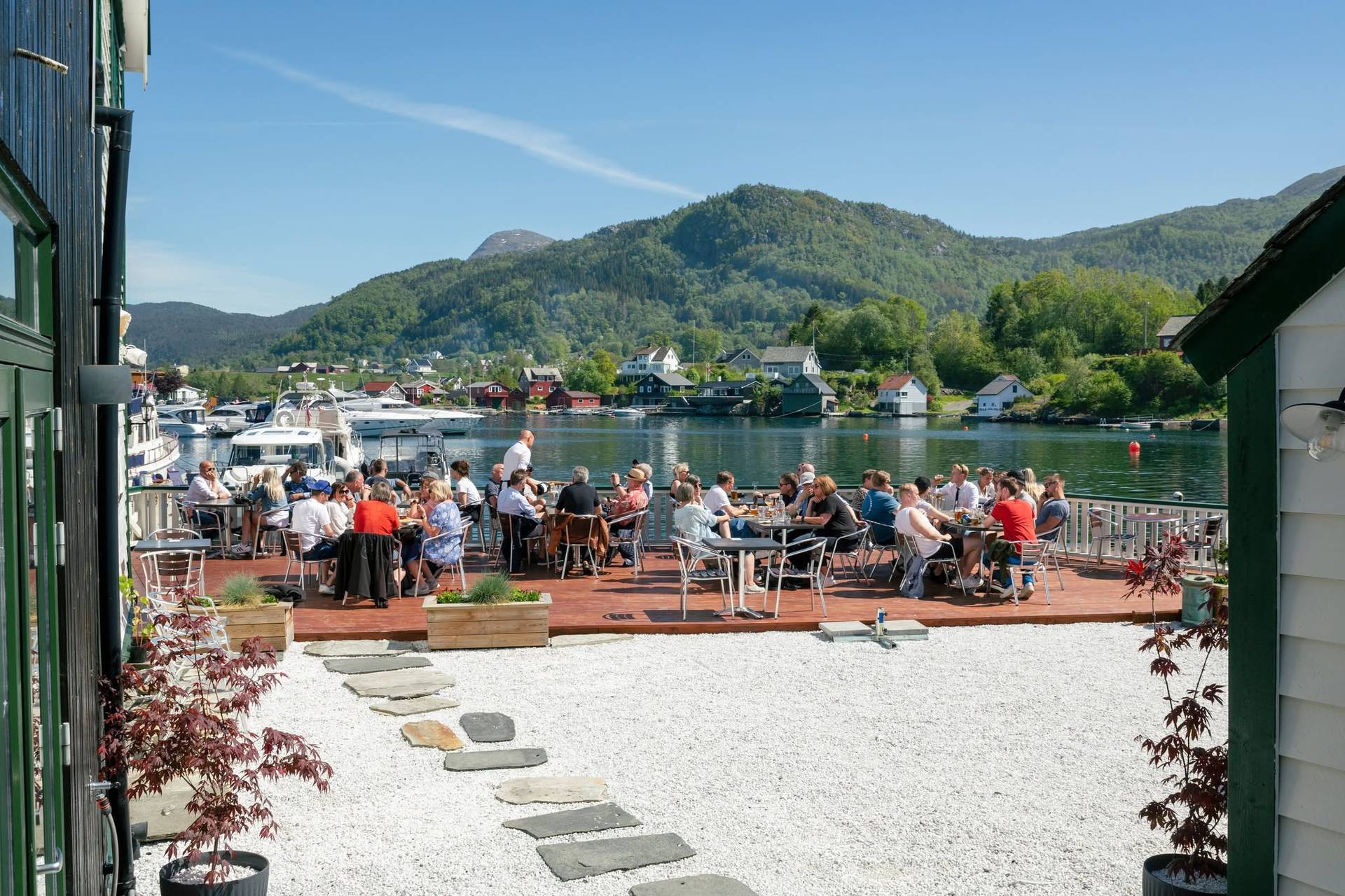
Food, beds and art
Haaheim Gaard
Hotel, garden and restaurant on Tysnes. A fine place to sleep if you fancy a night ashore.
haaheimgaard.noMyrdal Gård
An award-winning cheesery and farm shop high above the fjord. Wood-fired pizza in summer, and the starting point for the walk up Tysnessåto.
myrdalgard.noGarden på Dalland
Local food from the farm, and a motorhome pitch if you arrive on wheels.
gardenpaadalland.noGalleri Elisabeth G
Norwegian contemporary art in Våge every summer. Paintings, photography, prints and sculpture in the old general store.
elisabethg.noOut and about
Solstråleøya
A recreation island in Godøysund with white sand beaches and old walking paths. The friends association rents out the old house.
solstraale.orgVisit Tysnes
Trail maps, summit hikes, swimming spots and everything happening on the island.
visittysnes.noTysnesfest festival
The festival in Våge every summer. That week the festival organisation runs the harbour.
tysnesfest.noPractical stuff
Våge Nærsenter
Groceries, pharmacy, wine shop and hairdresser, a stone's throw from the ferry pier.
vågesenter.noFerry and bus
Timetables for the Halhjem to Våge ferry and the buses onward across the island.
skyss.noTysnesbladet
The local paper. News and what is on across the island, week by week.
tysnesbladet.noTysnes municipality
Practical island info, from the swimming pool to library opening hours.
tysnes.kommune.noThe Halhjem to Våge ferry takes about 35 minutes (Fjord1), and the Hardangerfjord express boat calls at Malkenes. Find more trails and activities at visittysnes.no.